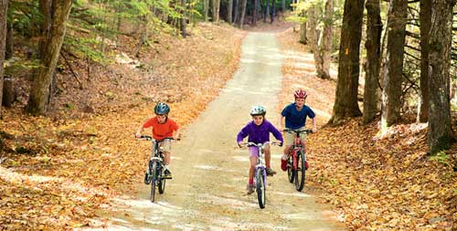
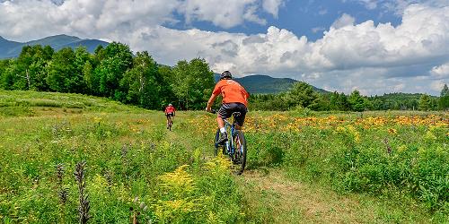
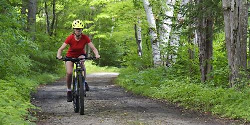
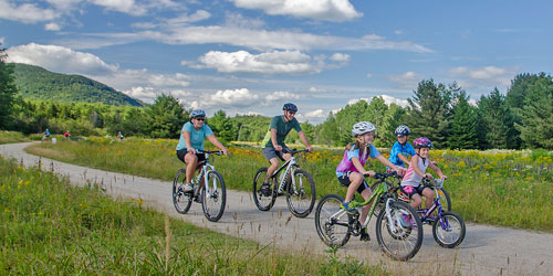
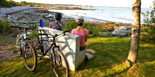
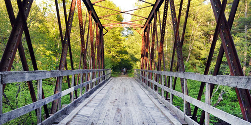
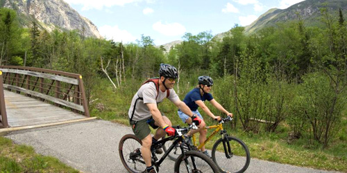
Pedal power remains a popular way to stay fit and see New Hampshire. Scenic paved and unpaved roads and trails abound, as do services for bikers in all parts of the state. Hit the White Mountains or Lakes region over easy, hilly or rolling terrain. Follow abandoned railroad corridors and river beds. Roll through historic towns, state and national parks, by and over covered bridges. Discover mills and dams, farms, pastures, orchards, ponds, marshes, woods and wildlife. Along the way stop for a picnic and do some off-road exploring, There are rest stops, refreshments, shopping and lodgings, and trail maps, access roads and parking to help you on your way.

Bike-friendly Bethlehem is at the center of a variety of trails for beginners and advanced cyclists

15 Veterans Square Laconia, NH, 03246 Phone: 904-870-4273
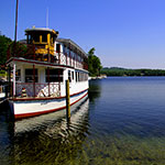
Custom-made rail bikes take riders on unique trip along shores of lake Winnisquam
1251 Eaton Road (Route 153) East Madison, NH, 03849 Phone: 603-367-8896 Toll-Free: 800-373-3754
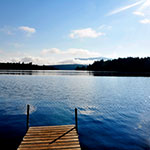
Bikers of all ages and abilities will enjoy the terrain around pristine Purity Lake
961 Main Street Berline, NH, 03570 Phone: 603-228-0836
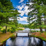
Biking – every season of the year – is a hit in this scenic river valley region


1172 Easton Road Franconia, NH, 03580 Phone: 603-823-5542 Toll-Free: 800-473-5299
Pedal into adventure from a classic White Mountain inn
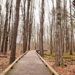
Miles of scenic trails for all types of bikes, all levels of cycling experience
Route 16 at Pinkham Notch Gorham, NH, 03581 Phone: 603-466-3988
Outdoor center offers wide variety of happy trails for all types of bikes, all types of bikers
Off Route 1A Rye, NH Phone: 603-436-7406
Total Length: 3 Miles
Jimtown Road (off Route 2) Gorham, NH, 03581 Phone: 603-466-3850
Total Length: 21 Miles
Access at base of Cannon Mountain Aerial Tramway, 260 Tramway Drive Franconia, NH Phone:
Total Length: 2.4 Miles
Total Length: 3 Miles
Total Length: 2.1 miles
Total Length: 3.1 Miles
Routes 32 and 10, and Eaton Road Swanzey and West Swanzey, NH Phone:
Total Length: 4.1 Miles
Along Route 4 Lebanon Enfield Canaan Grafton, NH Phone: 603-271-3254
Trail Length: 48 miles
Total Length: 3.6 Miles